
Canadian Lightning Danger Map – Canada
The Canadian Lightning Danger Map (CLDM) represents areas at greatest risk of being struck by lightning in the next 10 minutes. Times are expressed in Coordinated Universal Time (UTC). The interval between maps is 10 minutes. Please re-fresh your browser to ensure you have the latest map. Learn more about the Canadian Lightning Danger Map.
Loading images…
Image not available.
Image 7 of 7

What we are doing
Weather Forecasts
Weather Alerts
Weather Resources
Features
Need to travel Alberta Highway 93?
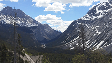
Go prepared with Highway 93 forecasts. Highway regions are available in the Alberta text forecast bulletin between Lake Louise and Jasper. (Photo by: Natalie Anderson)
- Date modified: