
Satellite Images and Animation
Satellites: (All satellite data courtesy of NOAA)
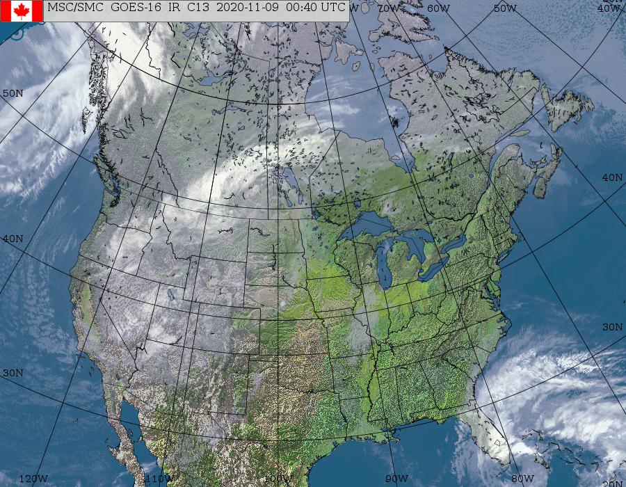
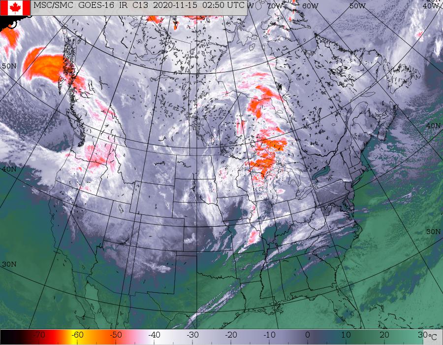
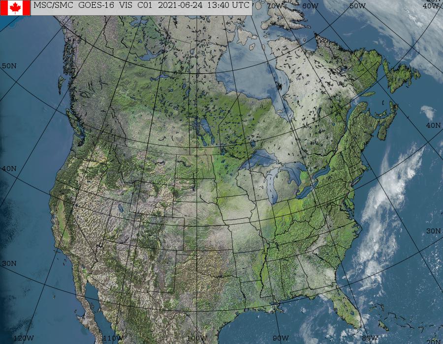
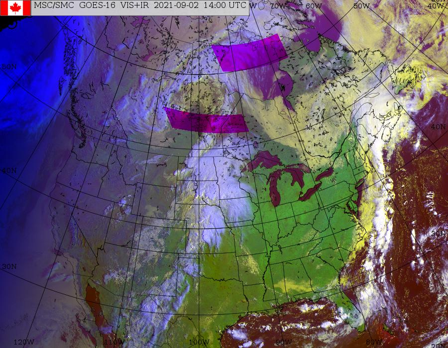
GOES-East/West
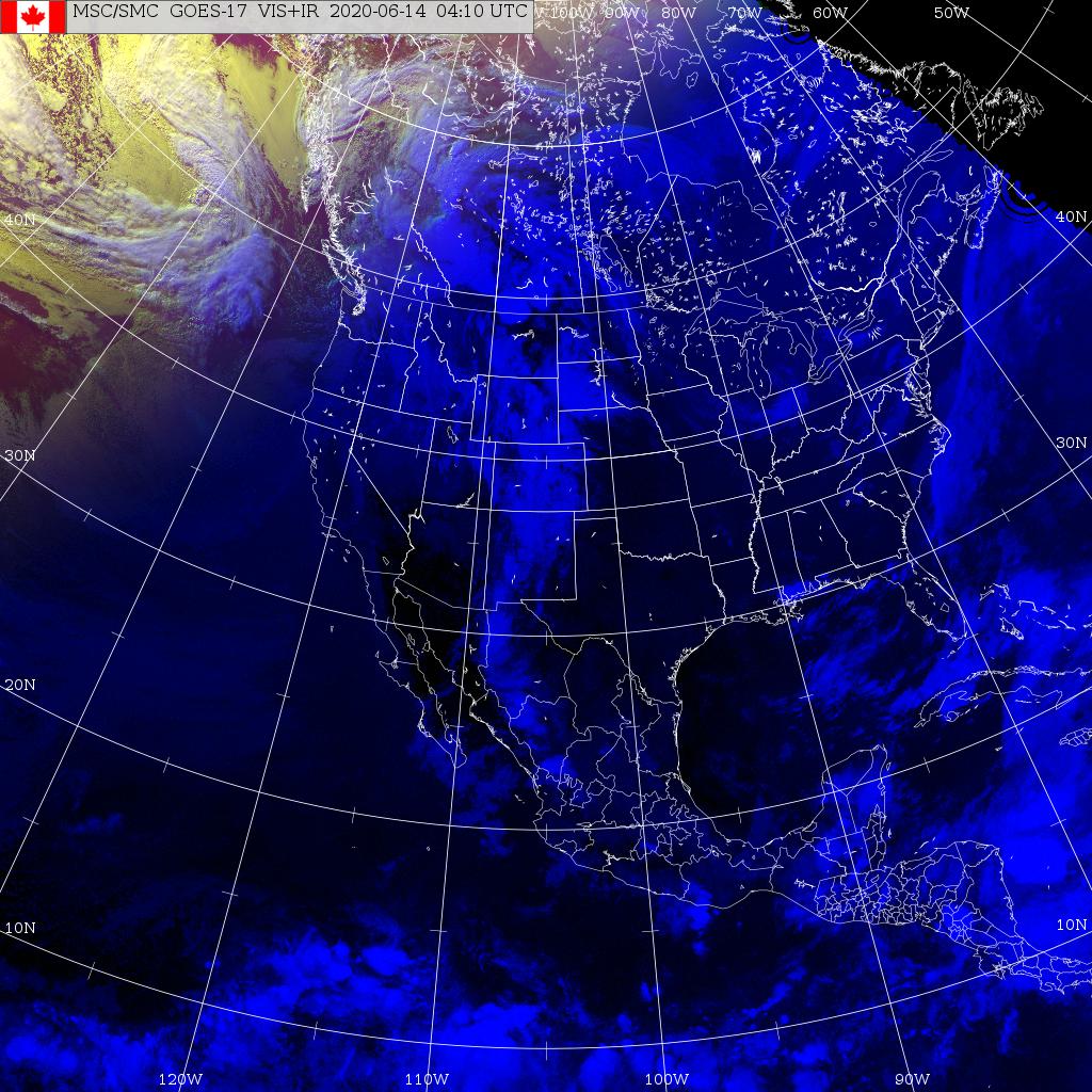
North American Composite *
GOES-East/West
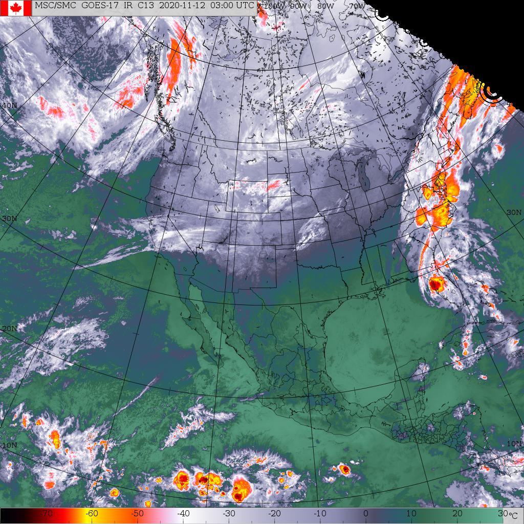
North American Composite *
GOES-East
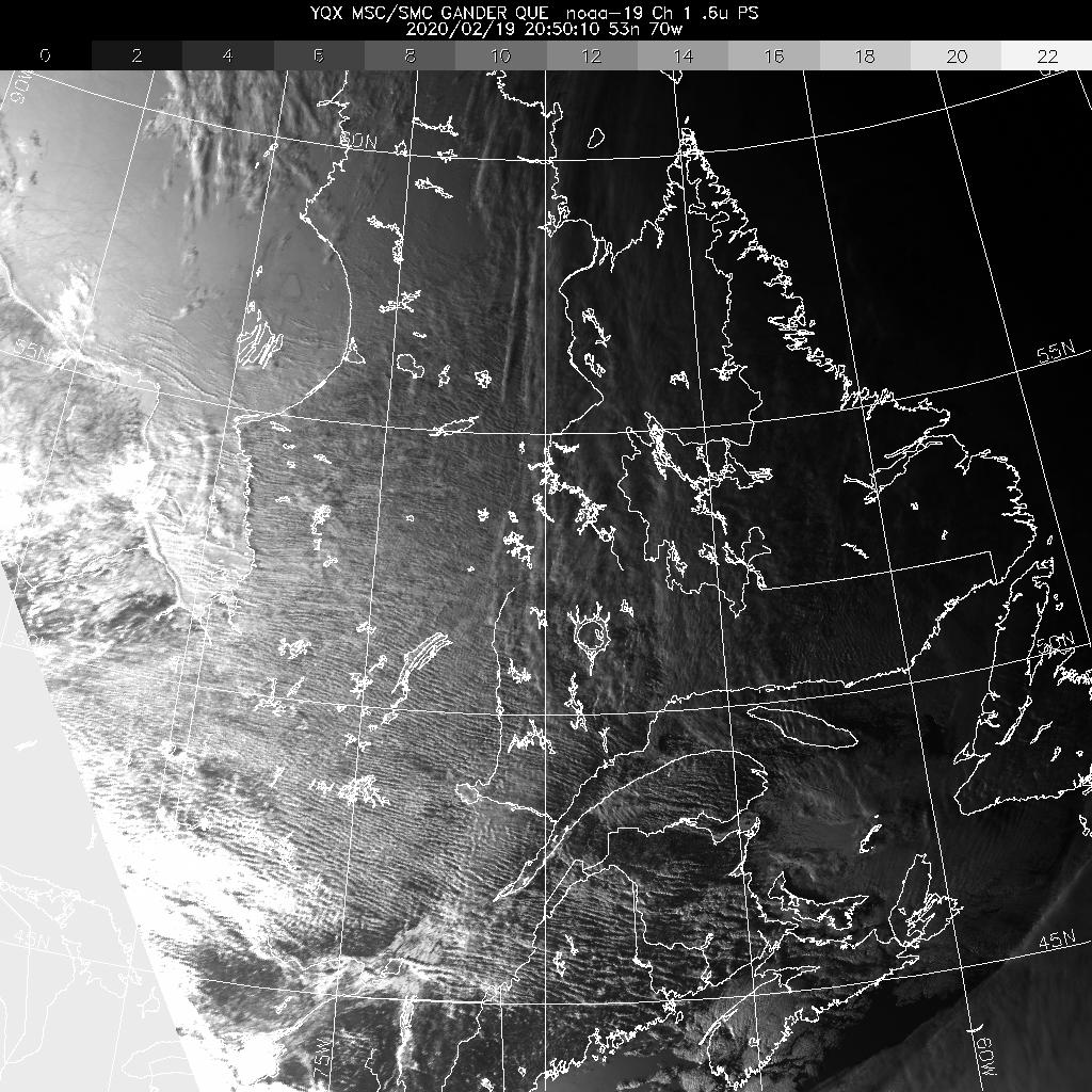
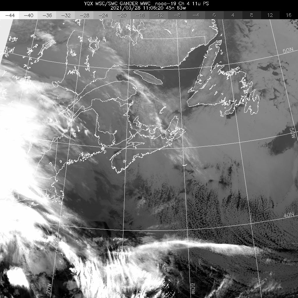
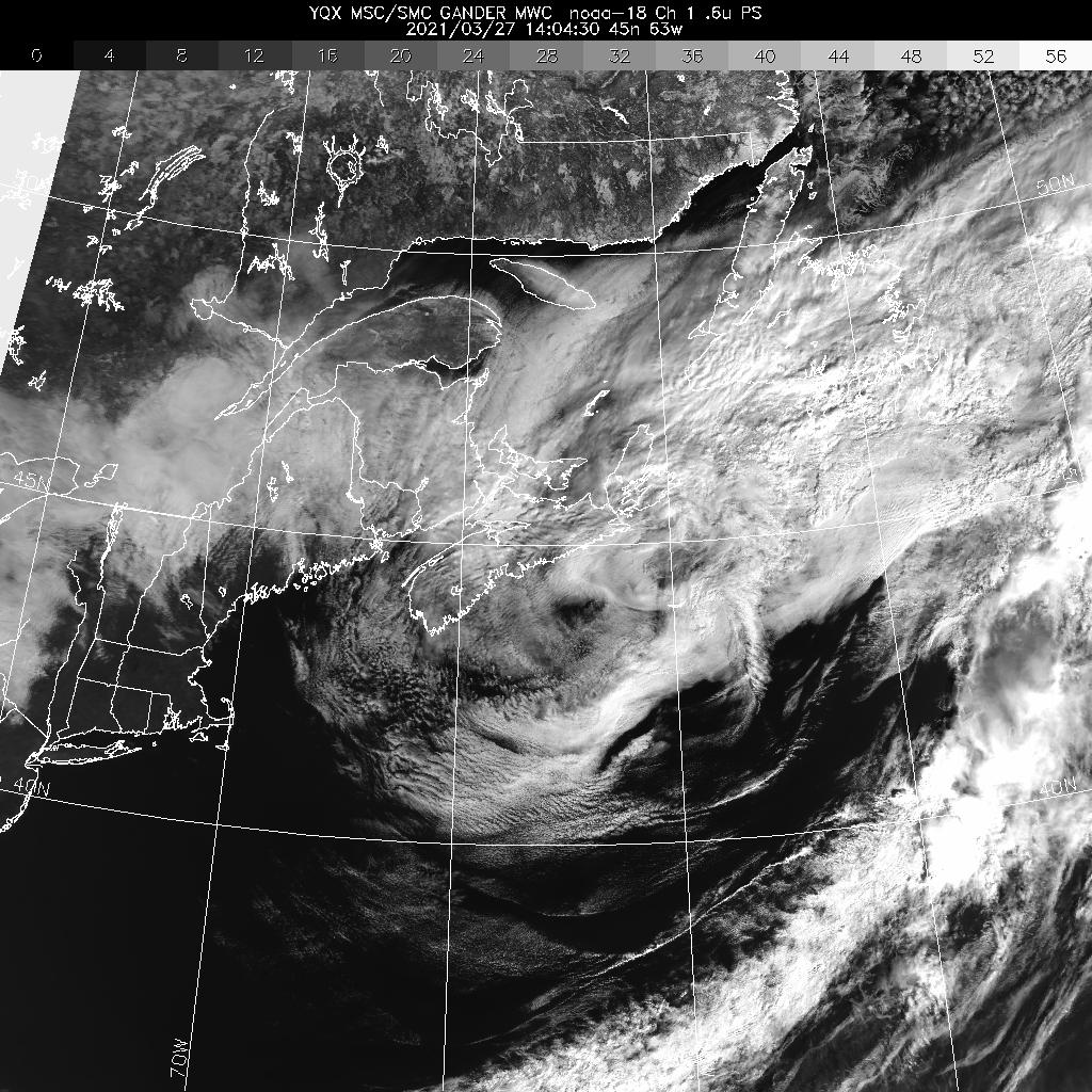
Eastern Canada *
Eastern North America *
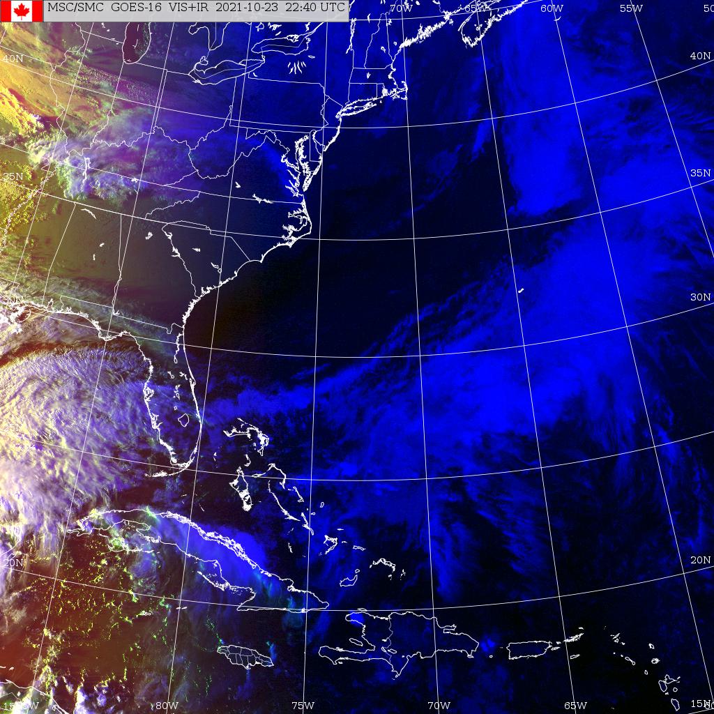
Eastern USA *
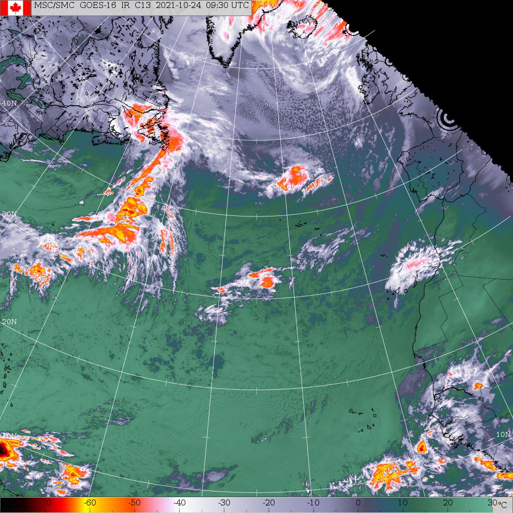
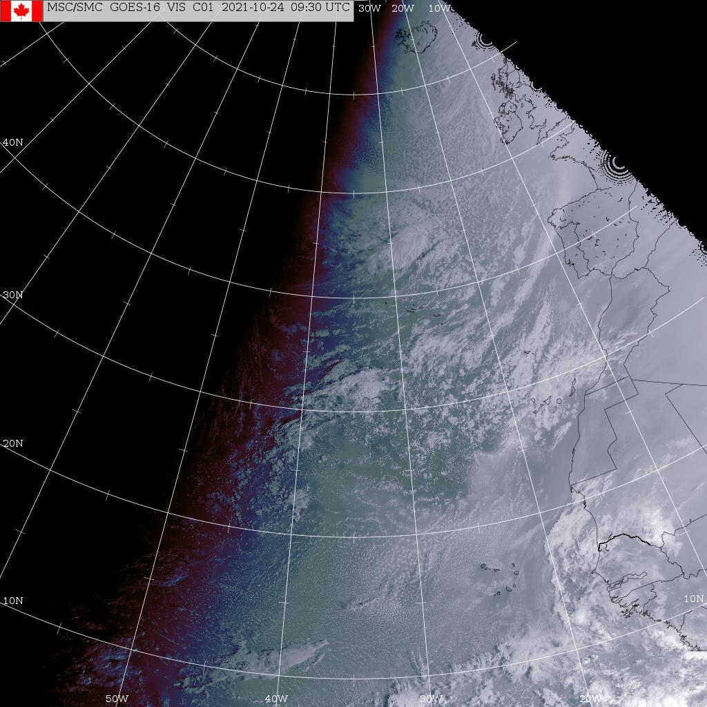
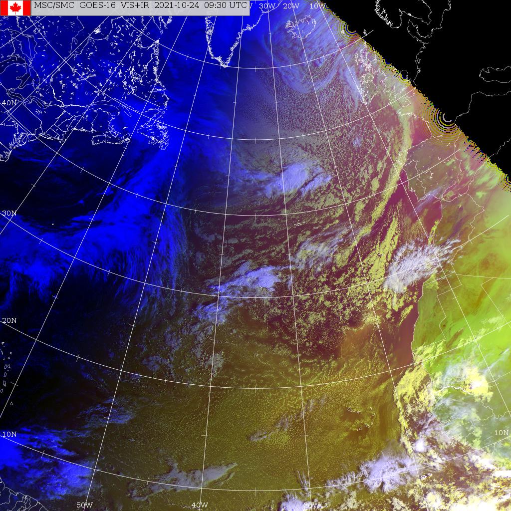
North Atlantic
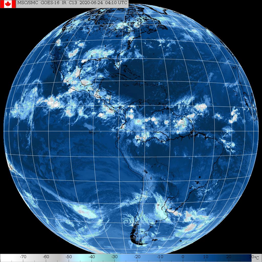
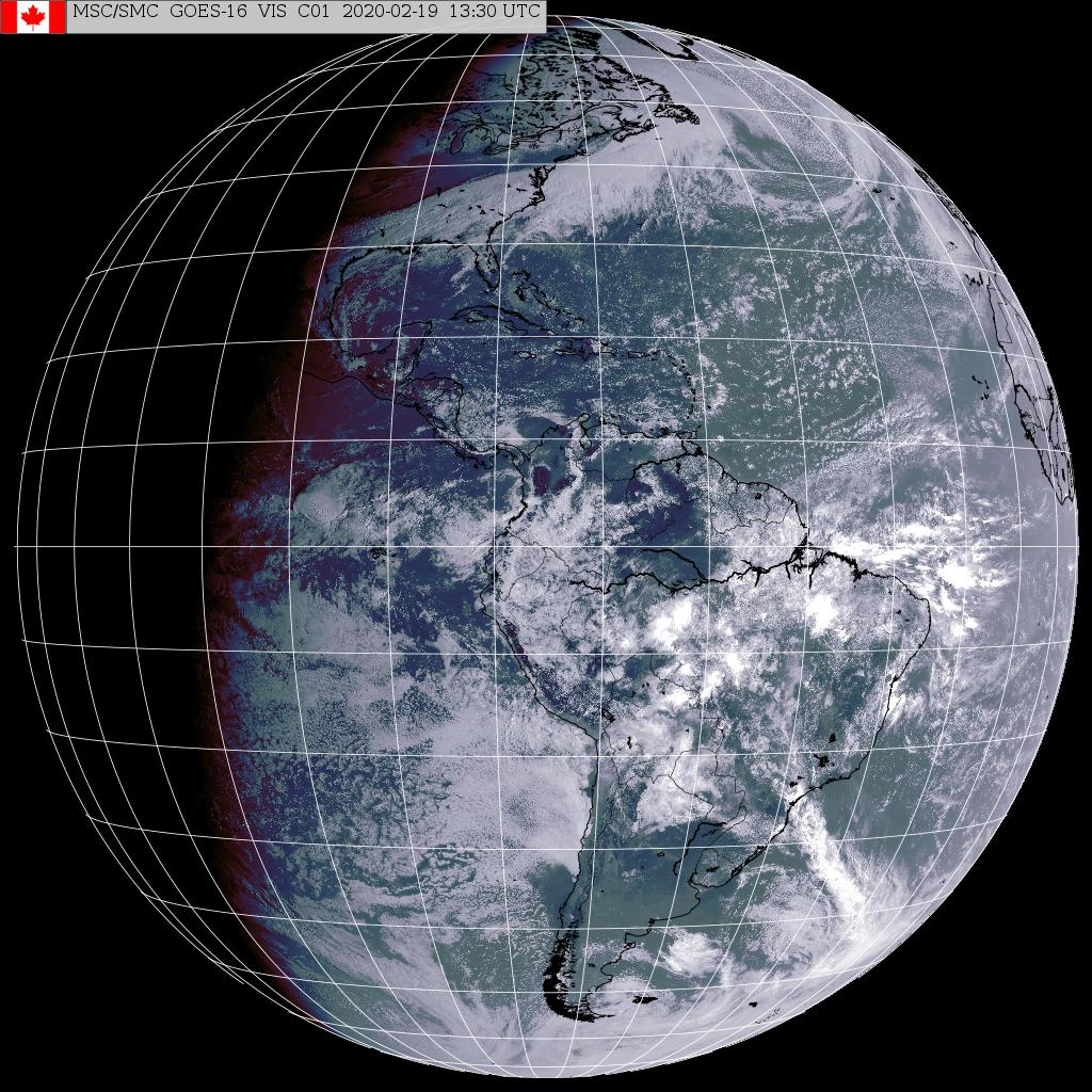
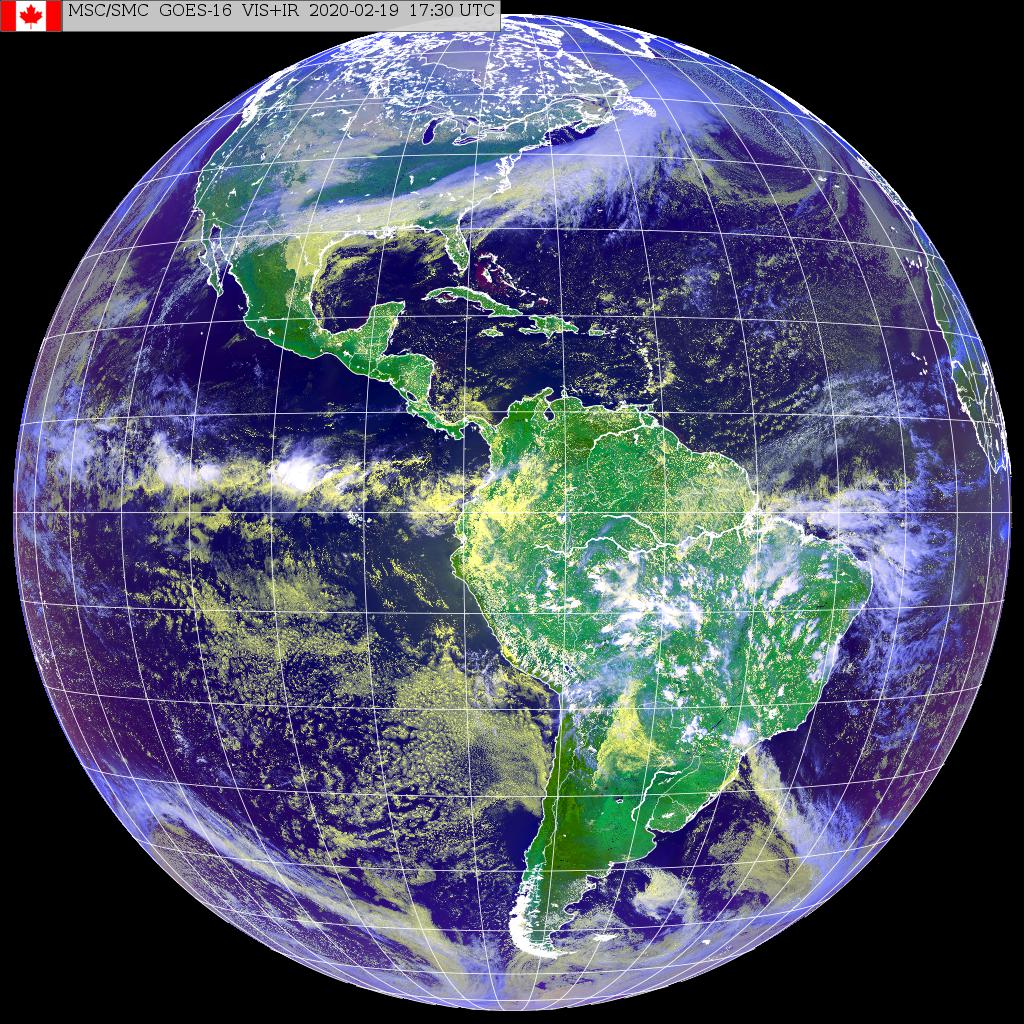
North and South America **
GOES-East
Eastern Canada *
Eastern North America *
Eastern USA *
North Atlantic
North and South America **
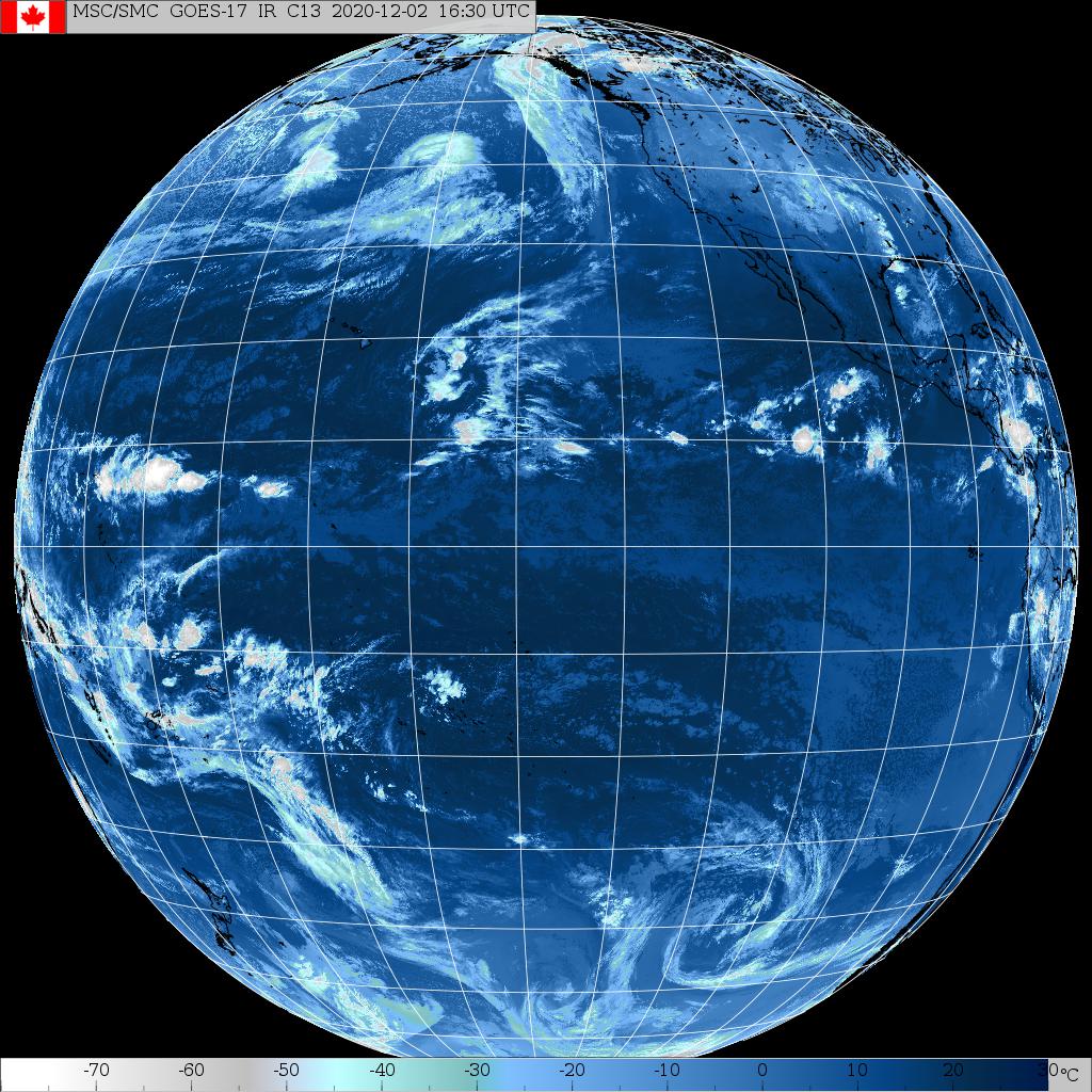
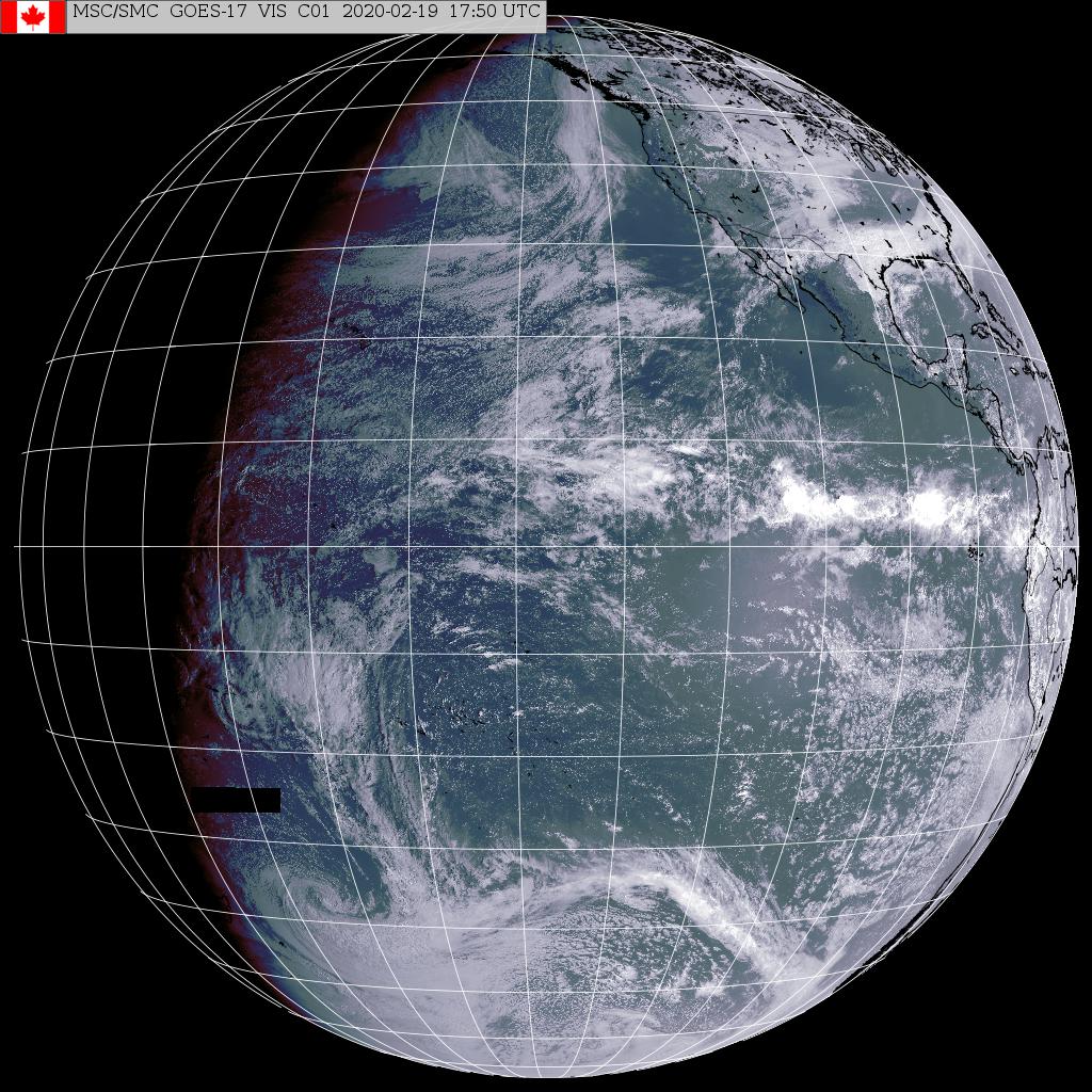
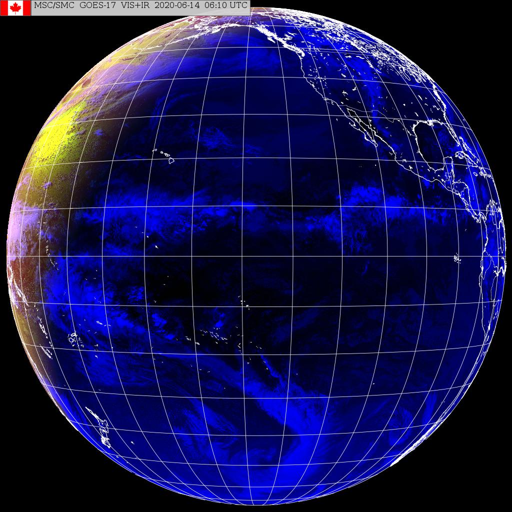
GOES-West
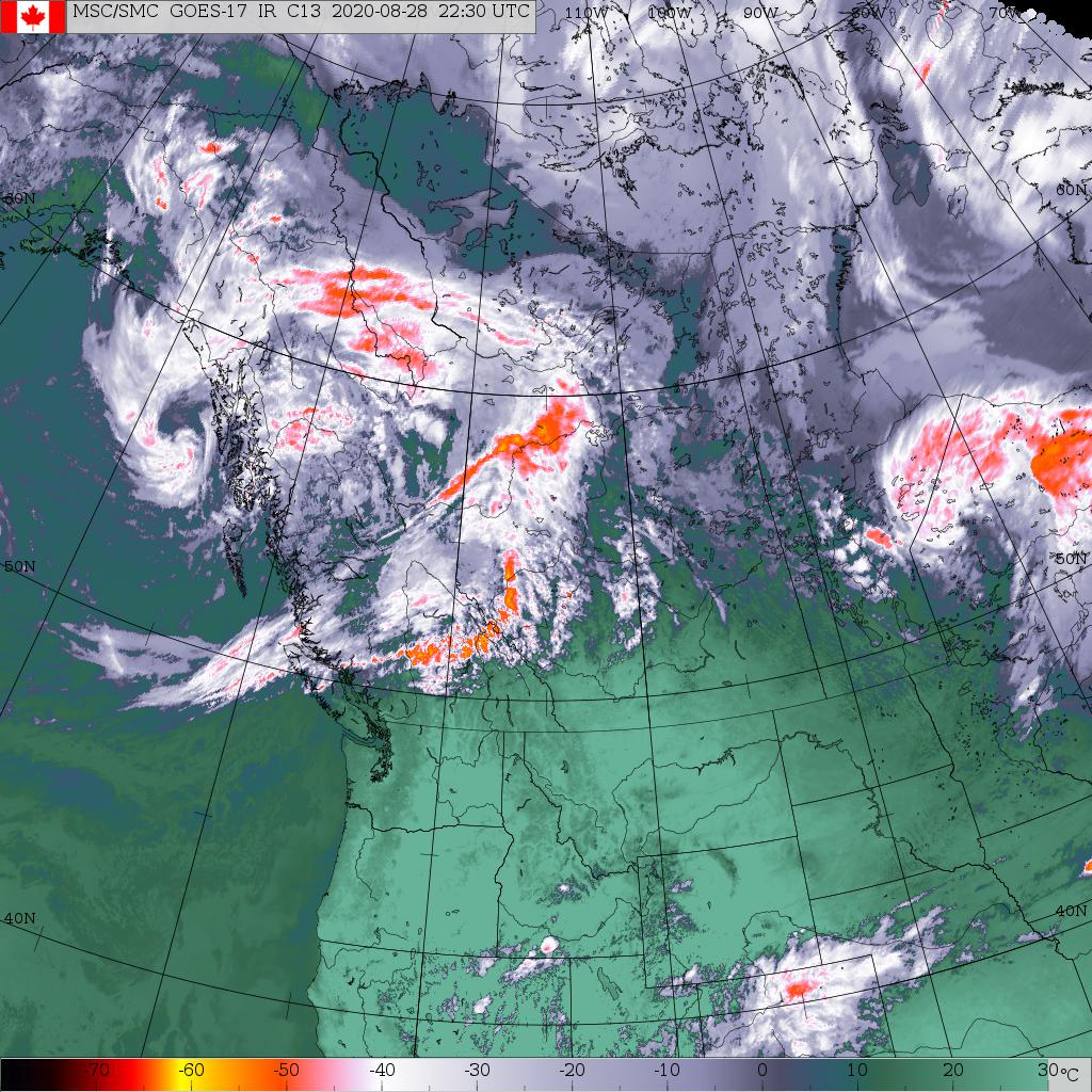
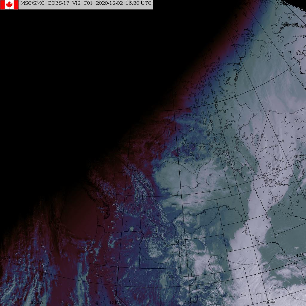
Western Canada *
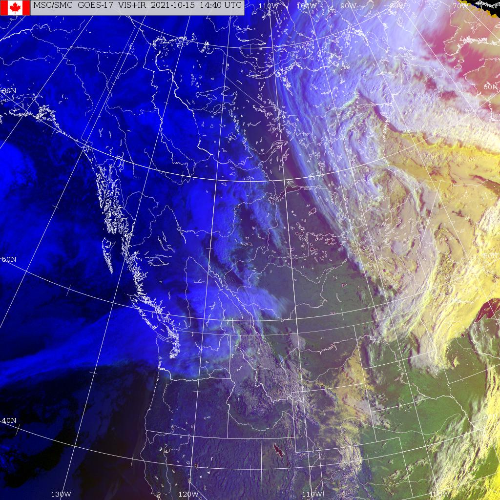
Western North America *
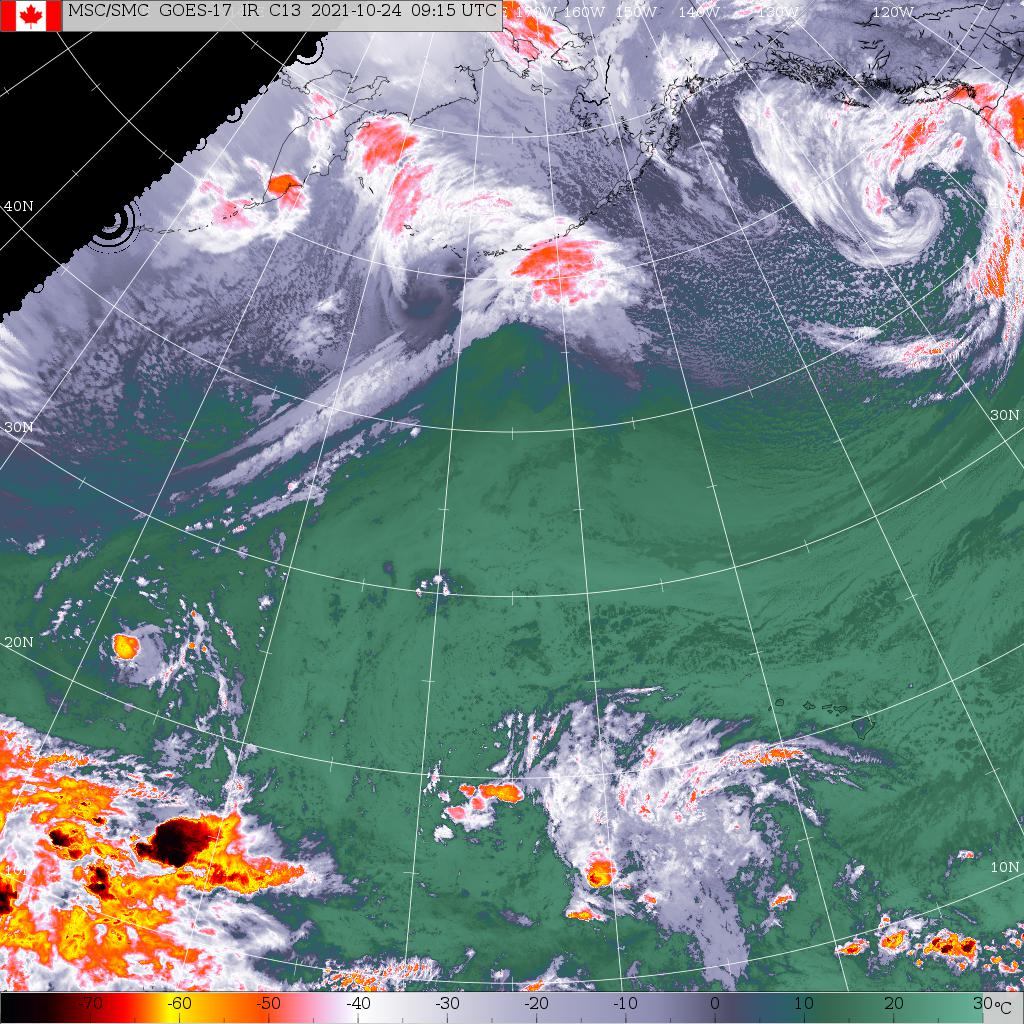
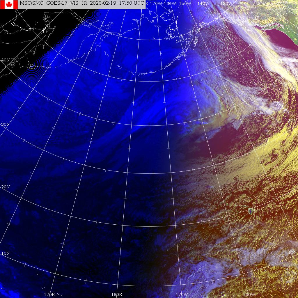
North Pacific *
Pacific and North America **
GOES-West
Western Canada *
Western North America *
North Pacific *
Pacific and North America **
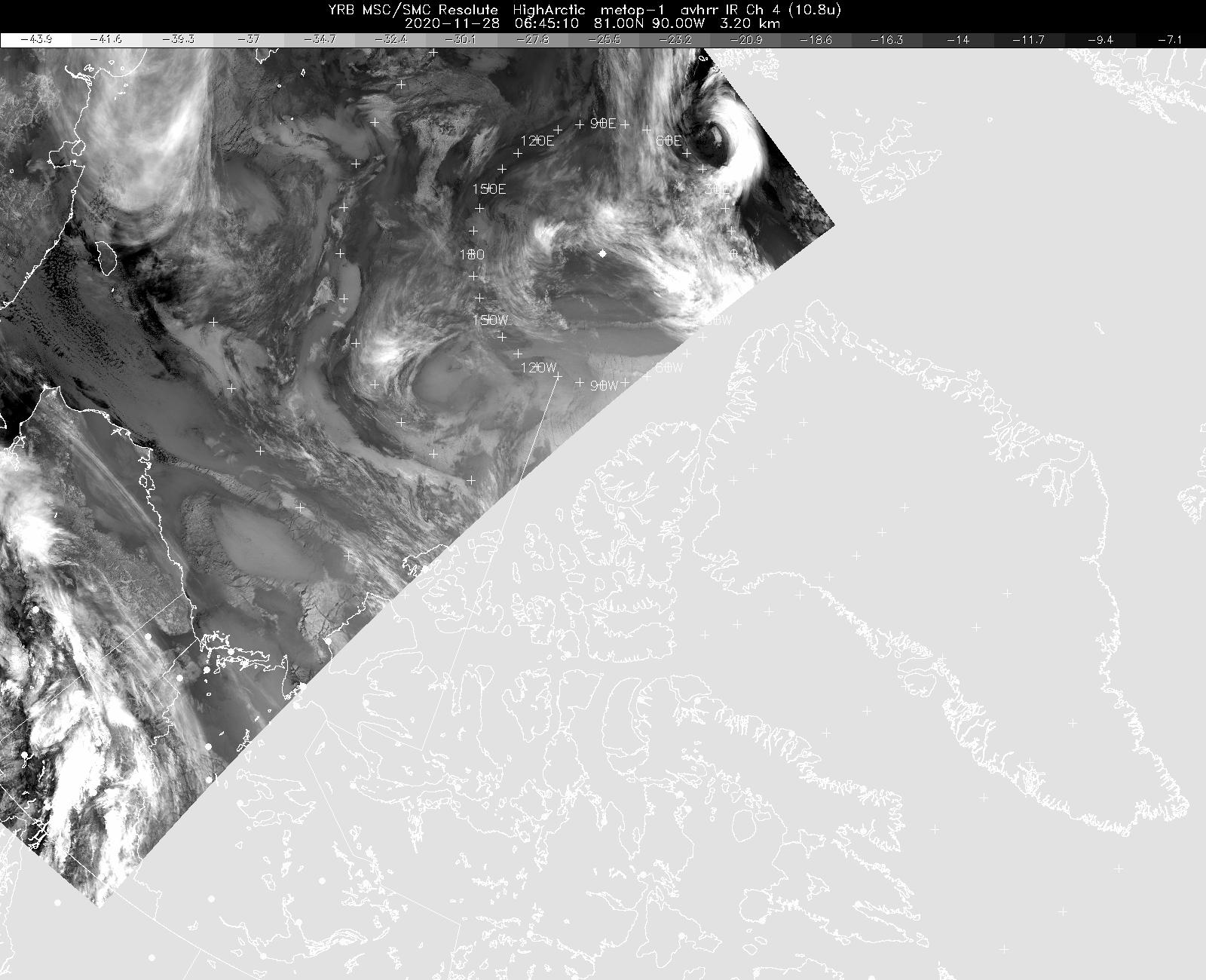
HRPT (NOAA polar orbiting)
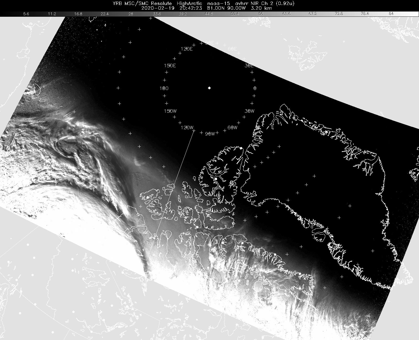
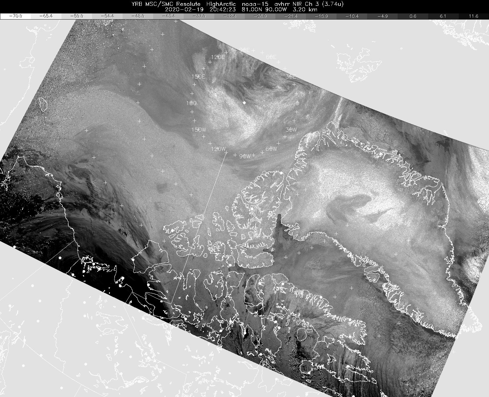
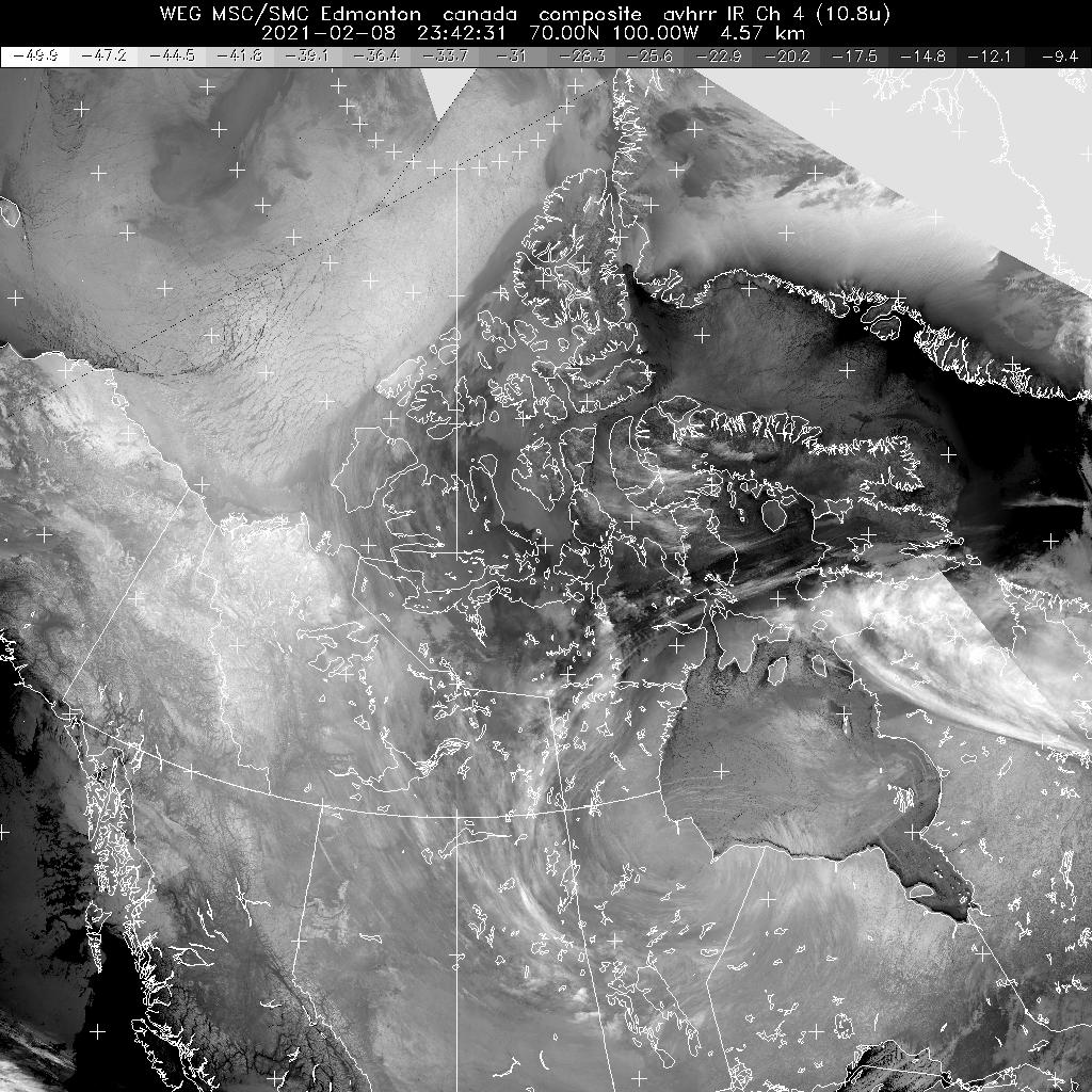
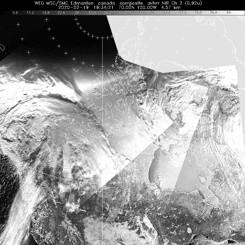
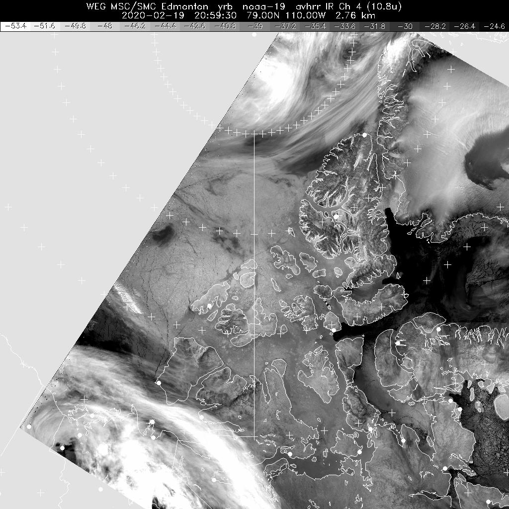
Northern Canada and Arctic Ocean ***
Canadian Arctic Composite ***(disclaimer)
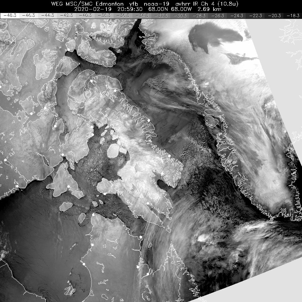
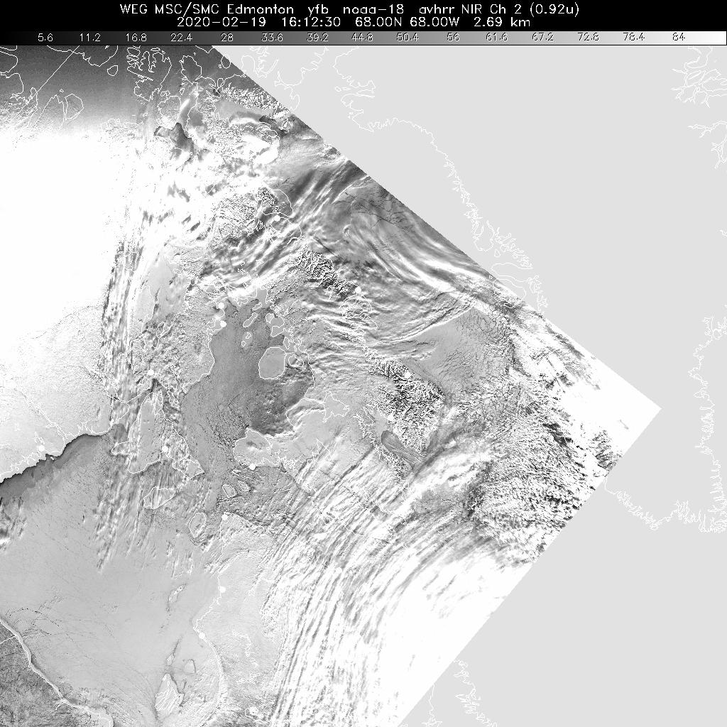
Baffin Island / Qikiqtaaluk ***
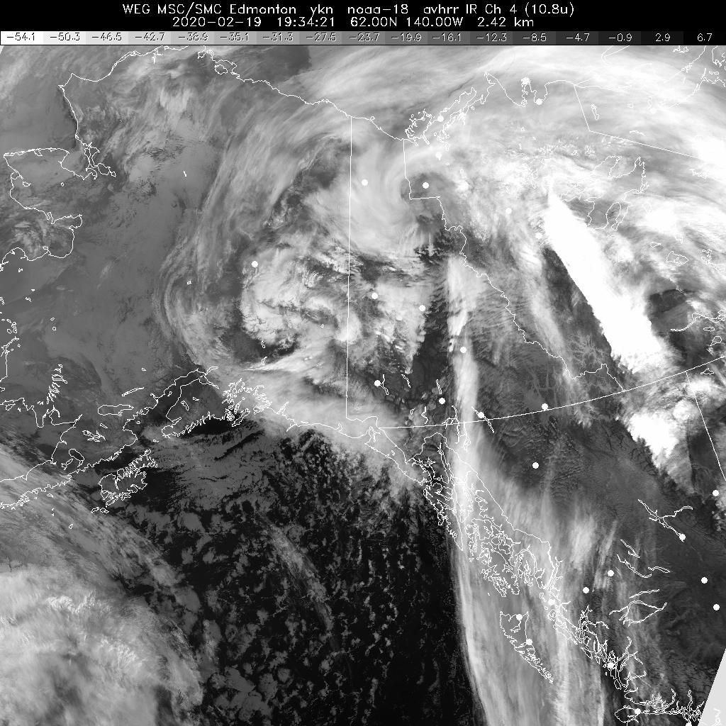
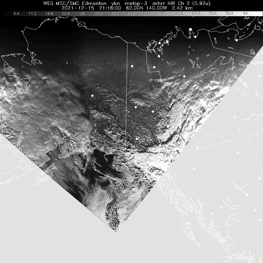
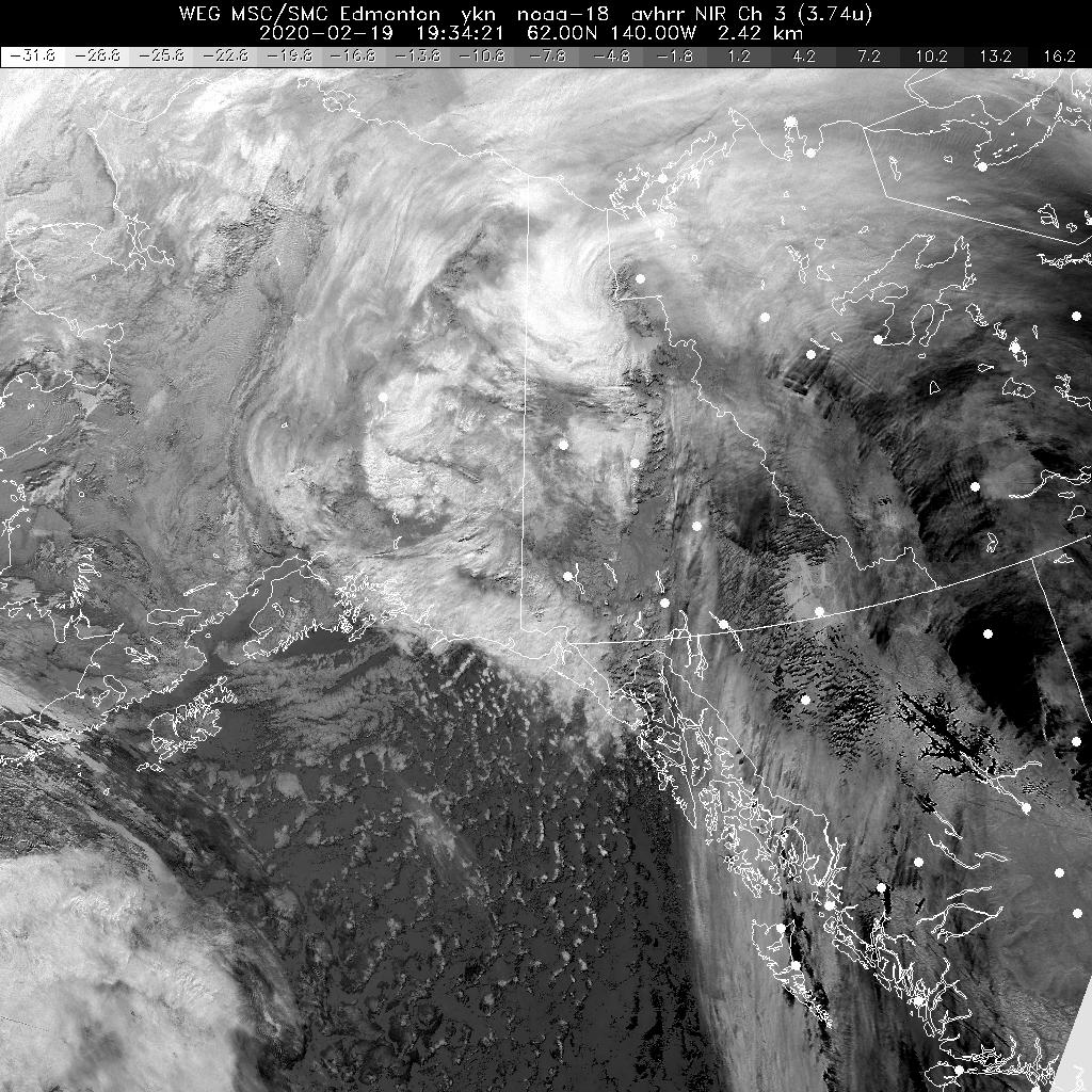
Yukon ***
Northern Nunavut ***
Northwest Territories / Kivalliq / Kitikmeot ***
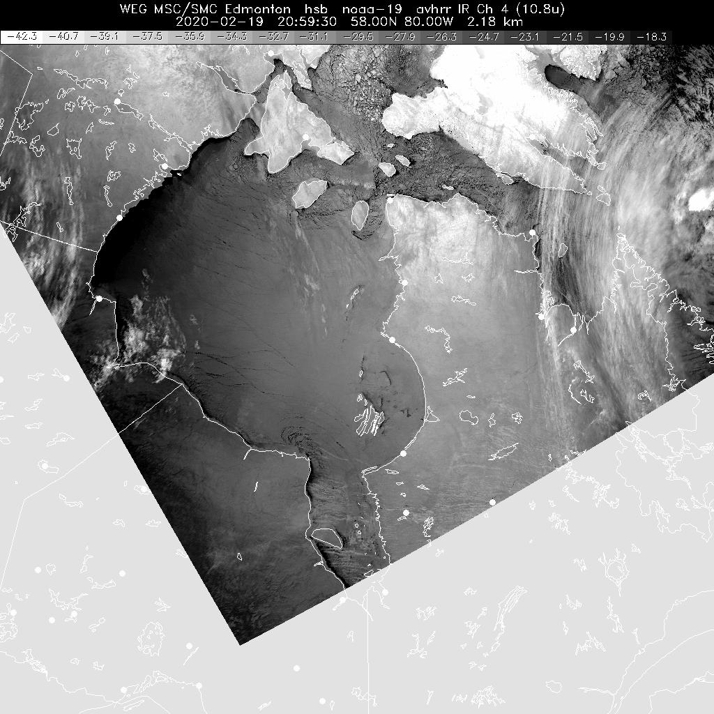
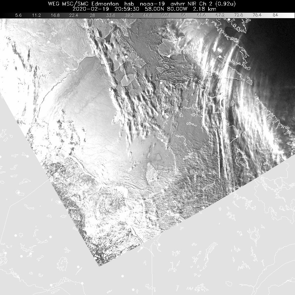
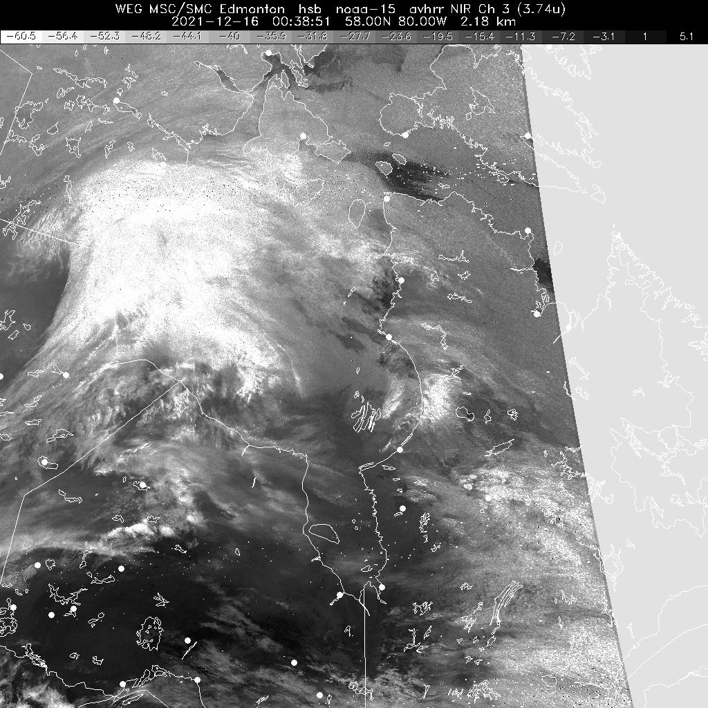
Hudson Bay ***
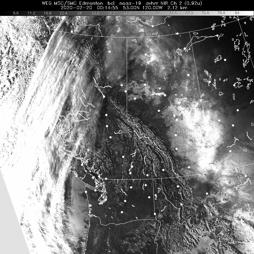
British Columbia ***
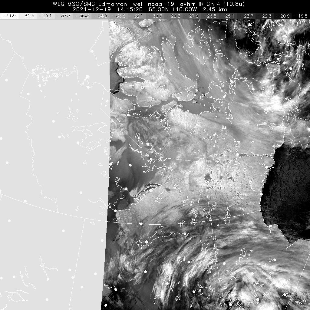
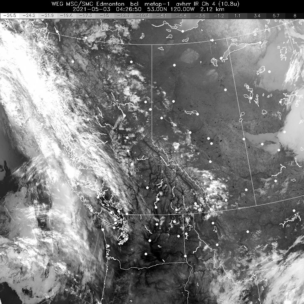
Prairies ***
Ontario ***
Quebec and Labrador ***
Atlantic Canada ***
HRPT (NOAA polar orbiting)
Northern Canada and Arctic Ocean ***
Canadian Arctic Composite ***(disclaimer)
Baffin Island / Qikiqtaaluk ***
Yukon ***
Northern Nunavut ***
Northwest Territories / Kivalliq / Kitikmeot ***
Hudson Bay ***
British Columbia ***
Prairies ***
Ontario ***
Quebec and Labrador ***
Atlantic Canada ***
Additional Information
General
- *
- updated hourly
- **
- updated every three hours
- ***
- updated as available
- GOES
- Geostationary Operational Environmental Satellite
- NOAA
- National Oceanic and Atmospheric Administration
- HRPT
- High Resolution Picture Transmissions
Image Formats
Large:
1024x1024 Size:~200k
Animation:
1024x1024 Size:~200k
What we are doing
Weather Forecasts
Weather Alerts
Weather Resources
Features
Need to travel Alberta Highway 93?
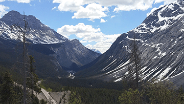
Go prepared with Highway 93 forecasts. Highway regions are available in the Alberta text forecast bulletin between Lake Louise and Jasper. (Photo by: Natalie Anderson)
- Date modified: